Photo: USACE
About this campground
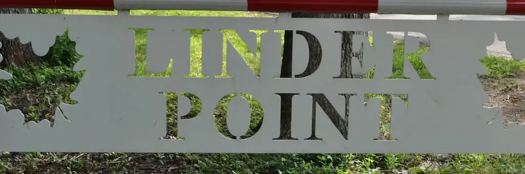
The Linder Point Campground is located within the Dam Complex at the Coralville Lake Project. The Coralville Lake Project is a multiple use project providing primary benefits in flood control and low flow augmentation, and secondary benefits in recreation, fish and wildlife management and forest management.
Around here
Around Linder Point Campground
18 campsites at their real positions. The 18 with power are yellow. Tap a site for its hookups and rig length.
Loading map…
- Explore Herbert Hoover's Hometown With the NPS AppSelf-Guided Tours - Walking10.6 mi (opens in a new tab)
- Take a Self-guided TourSelf-Guided Tours - Walking · 30-60 Minutes10.6 mi (opens in a new tab)
- Walk the Nature TrailsHiking · 30-60 Minutes10.7 mi (opens in a new tab)
- Visit Downtown West BranchSelf-Guided Tours - Walking · 30-60 Minutes10.8 mi (opens in a new tab)
Data Source: Recreation.gov · Source: USGS GNIS · Source: National Park Service. No claim to original U.S. Government works. · Public land: USGS PAD-US · Forest roads: USDA Forest Service MVUM · BLM routes and areas: Bureau of Land Management (simplified for web display)
Sites and hookups
- Campsites
- 18
- Electric hookups
- 14 sites, up to 50 amp
- Full hookups
- 8
- Water hookups
- 8
- Sewer hookups
- 8
- Max RV length
- 70+ ft
- Pets
- Allowed
- Campfires
- Allowed
- Booking
- Reservable on Recreation.gov
Amenities
- Showers