Arthur's Rock
Around here
Around Arthur's Rock
Before you go
Data Source: Recreation.gov · Source: USGS GNIS · Source: National Park Service. No claim to original U.S. Government works. · Public land: USGS PAD-US · Forest roads: USDA Forest Service MVUM · BLM routes and areas: Bureau of Land Management (simplified for web display)
About this crag
Arthur's Rock is a bouldering crag near Whetstone Climbing in Colorado. OpenBeta lists 100 routes here, graded V0 to V12. Route and grade data comes from OpenBeta, the open climbing database.
Made to print
Put Arthur's Rock on your wall
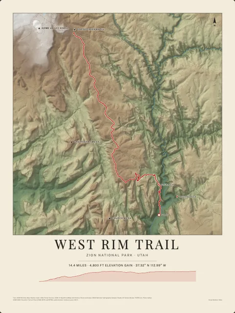
This crag and the country around it as an art print, every wall and canyon drawn from real elevation data, with the trails, rivers, roads and peaks nearby. Frame it tighter or wider before you print. Pick the colors and the size, and see the finished print before you buy. From $39, shipping included.