Left Boneyard
Bouldering49 routes
Around here
Around Left Boneyard
Loading map…
- Whitetop Station Visitor CenterVisitor center6.8 mi (opens in a new tab)
- Pat Jennings Visitor CenterVisitor center14.3 mi (opens in a new tab)
- Appalachian Trail Conservancy - Damascus Trail CenterVisitor center16.5 mi (opens in a new tab)
- Doughton Park Visitor Center (Milepost 241)Visitor center21.5 mi (opens in a new tab)
Data Source: Recreation.gov · Source: USGS GNIS · Public land: USGS PAD-US · Forest roads: USDA Forest Service MVUM · BLM routes and areas: Bureau of Land Management (simplified for web display)
About this crag
Left Boneyard is a bouldering crag near Rock Dimensions in Virginia. OpenBeta lists 49 routes here, graded V0 to V7+. Route and grade data comes from OpenBeta, the open climbing database.
Made to print
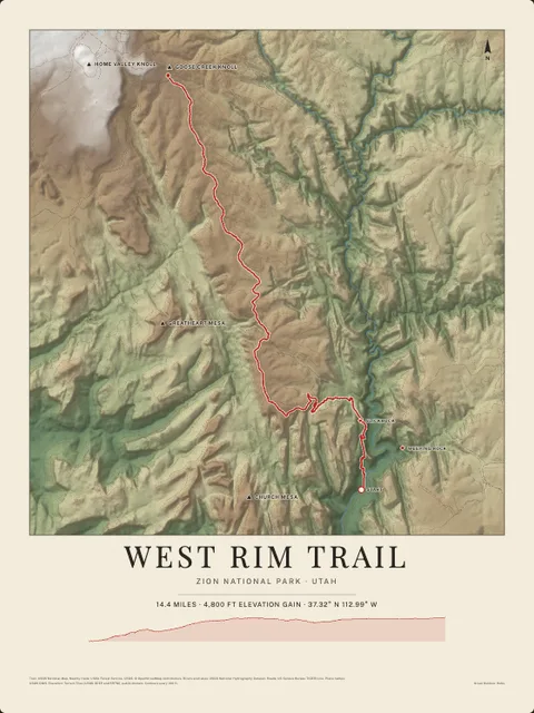
Put Left Boneyard on your wall
This crag and the country around it as an art print, every wall and canyon drawn from real elevation data, with the trails, rivers, roads and peaks nearby. Frame it tighter or wider before you print. Pick the colors and the size, and see the finished print before you buy. From $39, shipping included.
Make the posterOrder by December 8 for Christmas delivery.
More crags nearby
Browse all crags