Ozark Trail - Courtois Creek
MO · Moderate
1.4 km simulated section
20.6 km full mapped trail
Current trail
Real Trail Racing · Your pick
The line below follows the actual path of Ozark Trail - Courtois Creek, under its own real conditions. Same rules as the featured trail. Back to the featured trail.
The course
This course runs 0.87 mi of a 12.8 mi mapped trail.
Elevation
919–1,056 ft
↓ 249 ft drop · ↑ 131 ft climb · steepest 25%
Today’s dirt
Explore a different mapped trail. Each outline is its real shape, with the simulated section marked on it. These suggestions have a recent forecast, and availability is checked again when you open one.
17 of 17 suggested
MO · Moderate
1.4 km simulated section
20.6 km full mapped trail
Current trail
VA · Moderate
1.4 km simulated section
617.8 km full mapped trail
Open simulatorME
1.4 km simulated section
436.6 km full mapped trail
Open simulatorPA
1.4 km simulated section
423.2 km full mapped trail
Open simulatorMO
1.4 km simulated section
385.2 km full mapped trail
Open simulatorPA
1.4 km simulated section
374.3 km full mapped trail
Open simulatorHow it works
The course is a real trail from the map. It follows that trail’s real line and its real climbs and descents, and the grip, dust, and wind come from the forecast at the trailhead. Rain means mud and slower, slidier steering; a dry scorcher means fast hardpack and dust on the wind.
A game, not a guide
This is a stylized time trial. The gates and fallen trees are invented, and nothing here says anything about how hard, open, or safe the real trail is. Check the trail’s page, the local rules, and local guidance before you ride anything real. See the real Ozark Trail - Courtois Creek.
Section names like The Esses are our labels for the shape of this line, not what locals call it.
More free tools
In your pocket
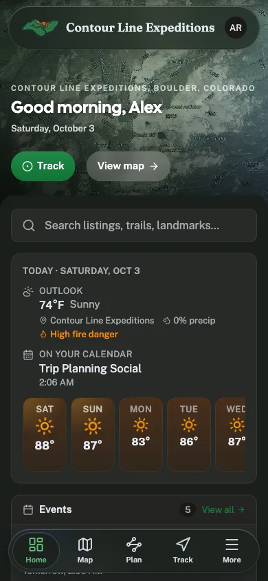
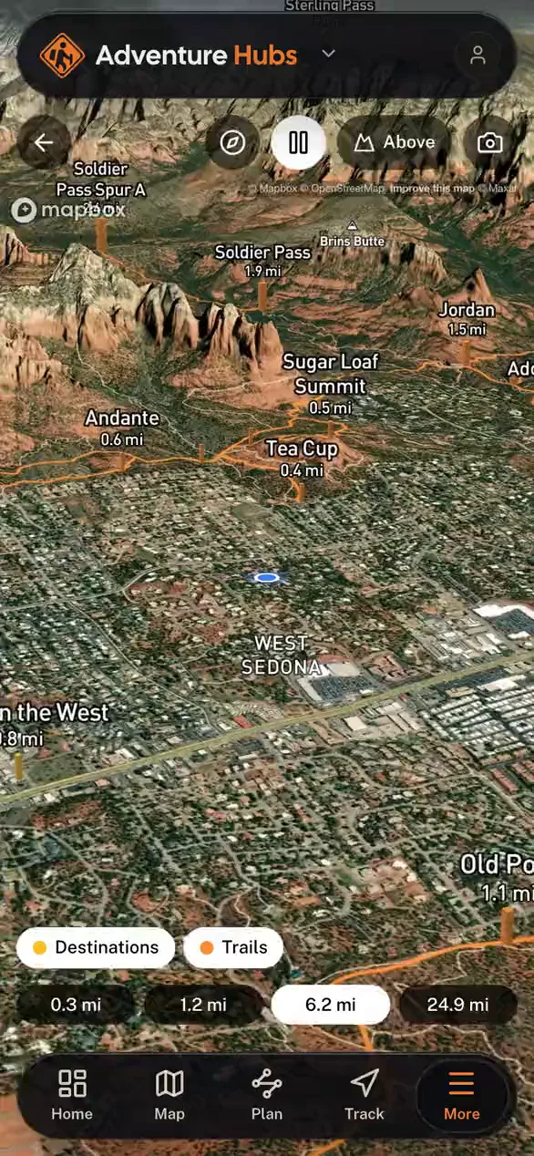
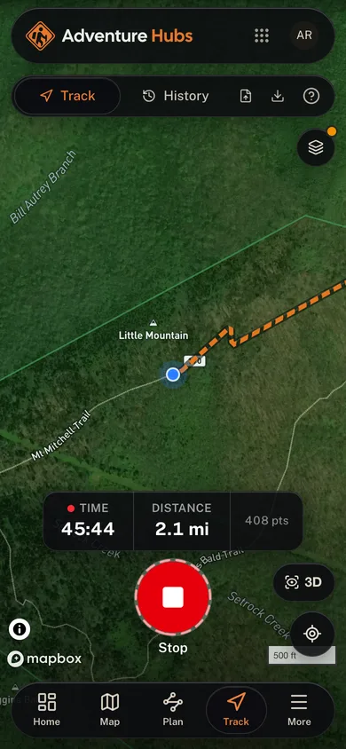
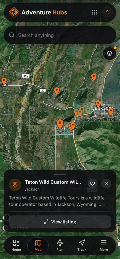
Free, no account needed. GPS tracking, trail maps, and multi-stop route planning in your pocket.
Every tour and outfitter in your pocket
GPS-track the whole day, hands-free
Plan and save multi-stop routes before you go
GPS tracking that keeps recording past the trailhead
For Operators
Run your whole tour business from one cockpit.
Bookings, your website, your mobile app, and marketing, all in one place.