Charleston, South Carolina
Charleston Outdoor Adventures
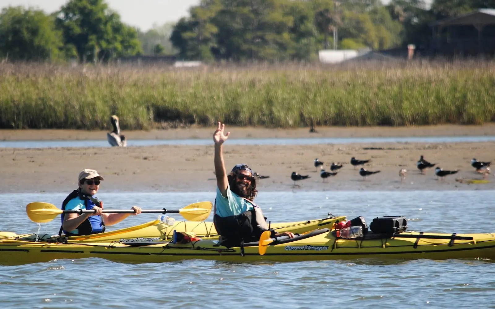
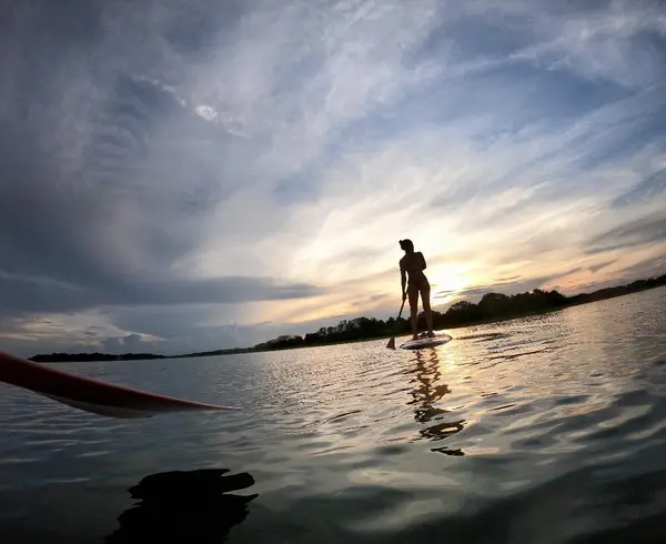
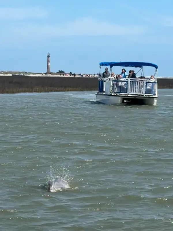
Wildlife & Eco ToursStand Up PaddleboardingFishing & Hunting
About
Gallery
Tour details
- Activities
- Wildlife & Eco Tours, Stand Up Paddleboarding, Fishing & Hunting
Adventurer reviews
5.0on Google, 11,525 reviews
Read the reviews on Google MapsRating from Google.
Around here
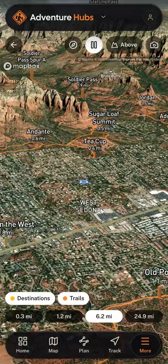
Around Charleston Outdoor Adventures
1 trail covering 0.6 miles.
Loading map…
- Campground at James Island County ParkRV park · ★ 4.74.5 mi (opens in a new tab)
- Oak Plantation Camp GroundRV park · ★ 4.212.3 mi (opens in a new tab)
- Lake Aire CampgroundRV park · ★ 4.112.9 mi (opens in a new tab)
- Fain's RV ParkRV park · ★ 3.616.4 mi (opens in a new tab)
- Mount Pleasant / Charleston KOA HolidayRV park · ★ 4.517.1 mi (opens in a new tab)
- Edisto Beach State Park CampgroundRV park · ★ 4.722.3 mi (opens in a new tab)
- Fort Sumter and Fort Moultrie National Historical ParkRecreation area7.8 mi (opens in a new tab)
- Fort Moultrie Visitor CenterVisitor center8.6 mi (opens in a new tab)
- Charles Pinckney National Historic SiteRecreation area14.3 mi (opens in a new tab)
- Charles Pinckney National Historic Site Visitor CenterVisitor center14.3 mi (opens in a new tab)
- Gullah/Geechee Cultural Heritage CorridorRecreation area14.4 mi (opens in a new tab)
Data Source: Recreation.gov · Source: USGS GNIS · Public land: USGS PAD-US · Forest roads: USDA Forest Service MVUM · BLM routes and areas: Bureau of Land Management (simplified for web display)
Current conditions
Today · Fri
91Go/ 100
CloudyHigh 72°F, low 59°FRain 8%Wind 13 kt, gusts 26
Air quality
55 Moderate
North Charleston F.S. monitor, 18 km
Tides
Falling
Low 1.0 ft at 9:46 AM
Predicted at Folly Creek, Hwy. 171 bridge, 1 km away.
Get a 2027 tide calendar for this stationForecast from Open-Meteo global models (NOAA & ECMWF). Air quality: South Carolina DES via EPA AirNow. Preliminary data, not verified. Tide predictions: NOAA CO-OPS, feet above mean lower low water.
More operators

Also nearby
Other ways to get outside within about an hour of here.
Free tools