Montana River Guides
About
Gallery
Tour details
- Activities
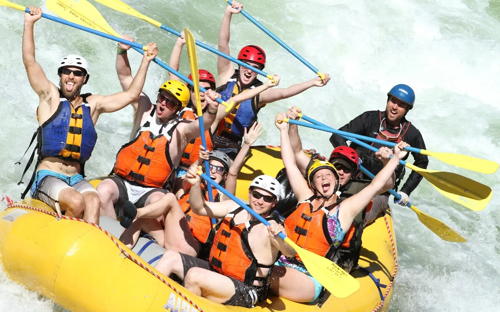
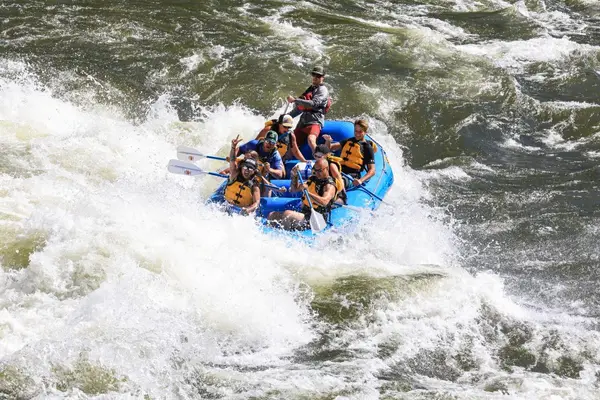
- Whitewater Rafting
Adventurer reviews
Rating from Google.
Around here
Around Montana River Guides
7 trails covering 22.5 miles.
- Quartz Flat CampgroundCampground · 78 sites10.7 mi
- Trout Creek CampgroundCampground · Good for backcountry16.2 mi
- Thompson Peak Lookout TowerCabin rental20 mi
- West Fork Butte LookoutCabin rental20.1 mi
- Granite Peak RV ResortRV park · ★ 4.520.8 mi (opens in a new tab)
- Jim & Mary's RV ParkRV park · ★ 4.721 mi (opens in a new tab)
Temperature from a 1980 federal survey. The record says nothing about access, ownership or current conditions.
Data Source: Recreation.gov · Source: USDA Forest Service · Source: USGS GNIS · Thermal springs: NOAA NCEI (1980) · Public land: USGS PAD-US · Forest roads: USDA Forest Service MVUM · BLM routes and areas: Bureau of Land Management (simplified for web display)
Current conditions
Today · Fri
66Maybe/ 100
High 41°F · 40% chance of rain
CloudyHigh 41°F, low 33°FRain 40%Wind 7 kt, gusts 14
Air quality
37 Good
Frenchtown monitor, 27 km
Forecast from Open-Meteo global models (NOAA & ECMWF). Air quality: Montana DEQ via EPA AirNow. Preliminary data, not verified.
More operators


Also nearby
Other ways to get outside within about an hour of here.
Free tools