Norcal Flow Expeditions
Independent directory listing. Not affiliated with Norcal Flow Expeditions. Own this business? Claim it.
About
Tour details
- Activities
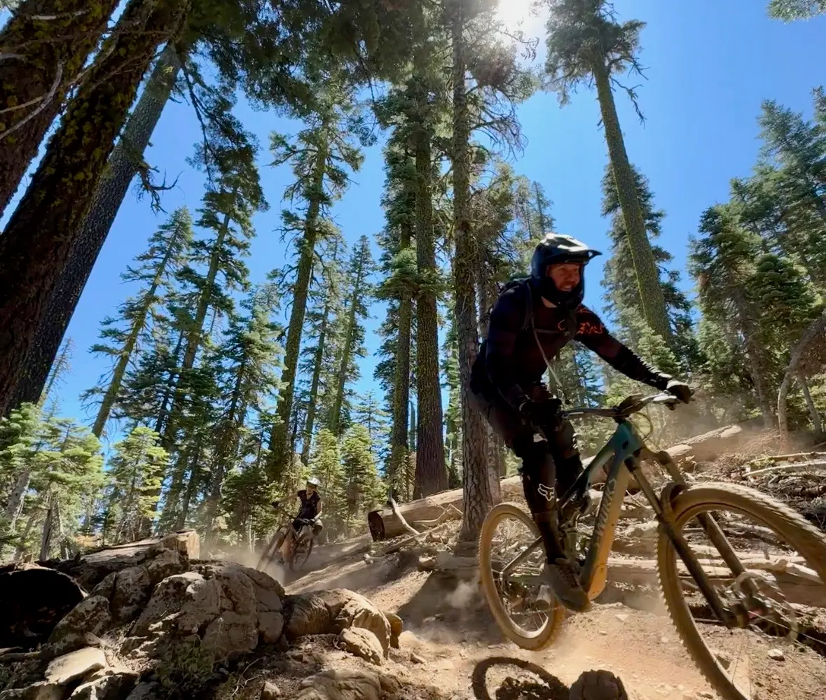
- Mountain Biking
Adventurer reviews
Rating from Google.
Gallery
Around here
Around Norcal Flow Expeditions
- Aquatic Park Cove, Black Point Overnight Anchoring, Sailing Vessels only (auxiliary engine OK)Campground · 12 sites1.1 mi
- Rob Hill Group CampgroundGroup camp · 4 sites3 mi
- Kirby Cove CampgroundCampground · Good for backcountry4.9 mi
- Bicentennial CampgroundCampground · Good for backcountry6.2 mi
- Hawk CampgroundCampground · Good for backcountry6.8 mi
- Haypress CampgroundCampground · 6 sites8.2 mi
- San Francisco Maritime Visitor CenterVisitor center1 mi (opens in a new tab)
- San Francisco Maritime National Historical ParkRecreation area1.1 mi (opens in a new tab)
- William Penn Mott, Jr. Presidio Visitor CenterVisitor center2 mi (opens in a new tab)
- Greater Farallones National Marine SanctuaryRecreation area2.6 mi (opens in a new tab)
- Greater Farallones and Cordell Bank Visitor CenterVisitor center2.9 mi (opens in a new tab)
- S F Bay Model Regional Visitor CenterRecreation area4.3 mi (opens in a new tab)
Temperature from a 1980 federal survey. The record says nothing about access, ownership or current conditions.
- Agents of Discovery at San Francisco Maritime National Historical ParkSelf-Guided Tours - Walking0.9 mi (opens in a new tab)
- Crissy Field Restored WetlandsHiking · 1-2 Hours1.7 mi (opens in a new tab)
- Presidio BirdwatchingBirdwatching · 1-2 Hours1.9 mi (opens in a new tab)
- Crissy Field BirdwatchingBirdwatching · 1-2 Hours1.9 mi (opens in a new tab)
- Birdwatching on AlcatrazBirdwatching · 30-90 Minutes2.3 mi (opens in a new tab)
- Explore the Agave TrailFront-Country Hiking · 30-60 Minutes2.3 mi (opens in a new tab)
Data Source: Recreation.gov · Source: USGS GNIS · Thermal springs: NOAA NCEI (1980) · Source: National Park Service. No claim to original U.S. Government works. · Public land: USGS PAD-US · Forest roads: USDA Forest Service MVUM · BLM routes and areas: Bureau of Land Management (simplified for web display)
Current conditions
Today · Wed
93Go/ 100
CloudyHigh 68°F, low 57°FRain 21%Wind 6 kt, gusts 9
Air quality
20 Good
San Francisco monitor, 4 km
Tides
- High 8:59 PM5.0 ft
- Low Thu 3:09 AM0.7 ft
- High Thu 10:00 AM5.4 ft
- Low Thu 3:52 PM1.5 ft
Predicted at San Francisco, North Point, Pier 41, 2 km away.
Forecast from Open-Meteo global models (NOAA & ECMWF). Air quality: Bay Area Air District via EPA AirNow. Preliminary data, not verified. Tide predictions: NOAA CO-OPS, feet above mean lower low water.
More operators
Also nearby
Other ways to get outside within about an hour of here.


Free tools