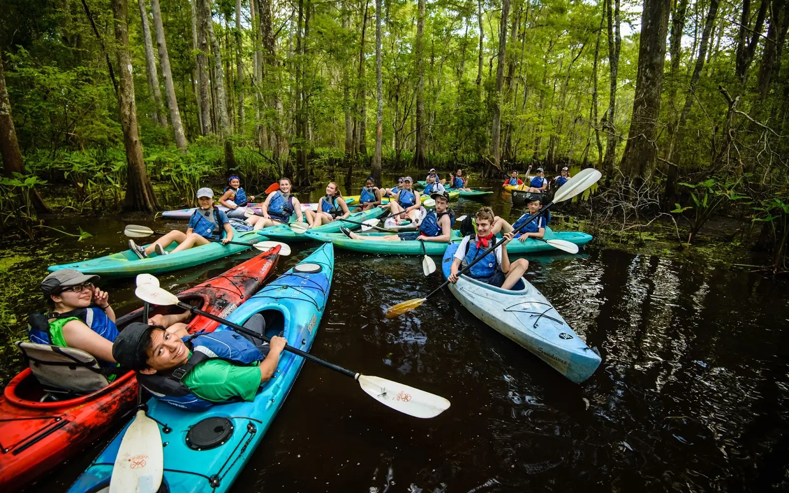
Wild Louisiana Kayak Swamp Tours
About
Gallery
Tour details
- Activities
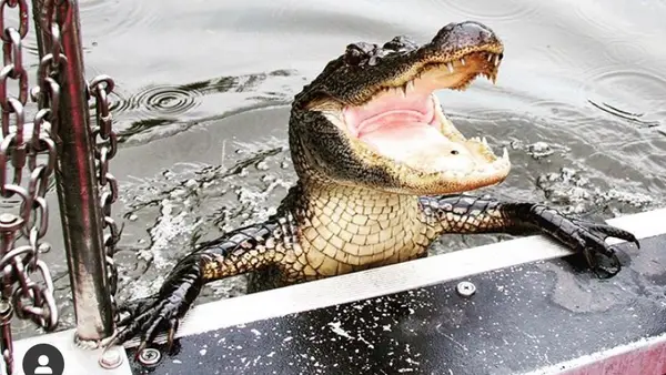
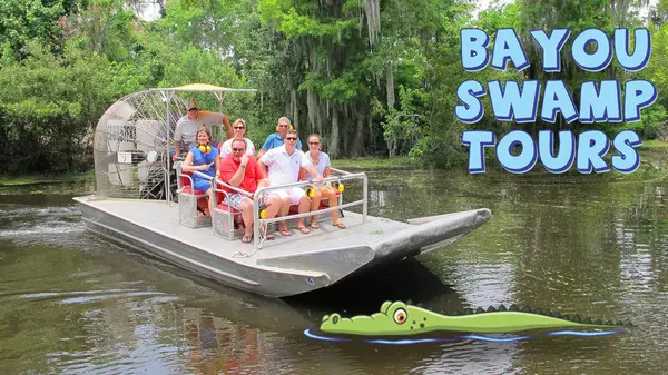
- Airboat & Swamp Tours
Adventurer reviews
Rating from Google.
Around here
Around Wild Louisiana Kayak Swamp Tours
- French Quarter RV ResortRV park · ★ 4.40.9 mi (opens in a new tab)
- New Orleans RV Resort & MarinaRV park · ★ 4.25.8 mi (opens in a new tab)
- Jude Travel Park of New OrleansRV park · ★ 4.46.2 mi (opens in a new tab)
- Parc D'Orleans RV Park & CampgroundRV park · ★ 3.66.4 mi (opens in a new tab)
- Royal Palms RV ParkRV park · ★ 4.76.4 mi (opens in a new tab)
- Bayou Barataria RV ParkRV park · ★ 4.87.7 mi (opens in a new tab)
- French Quarter Visitor CenterVisitor center0.7 mi (opens in a new tab)
- Jean Lafitte National Historical Park and PreserveRecreation area9.9 mi (opens in a new tab)
- Bayou Sauvage Urban National Wildlife RefugeRecreation area15.5 mi (opens in a new tab)
- Bonnet Carre SpillwayRecreation area21.1 mi (opens in a new tab)
- Discover Native Plants in Our CourtyardWildlife Watching0.7 mi (opens in a new tab)
- Chalmette National Cemetery Audio TourSelf-Guided Tours - Walking · 30-60 Minutes5.3 mi (opens in a new tab)
- Explore Natural History at BaratariaSelf-Guided Tours - Walking11.6 mi (opens in a new tab)
- Walk the Trails at the Barataria PreserveHiking12.5 mi (opens in a new tab)
Data Source: Recreation.gov · Source: National Park Service. No claim to original U.S. Government works. · Public land: USGS PAD-US · Forest roads: USDA Forest Service MVUM · BLM routes and areas: Bureau of Land Management (simplified for web display)
Current conditions
Today · Fri
96Go/ 100
CloudyHigh 73°F, low 59°FRain 1%Wind 10 kt, gusts 21
Air quality
52 Moderate
I-610 New Orleans Near Road monitor, 7 km
Tides
Falling
Low 0.3 ft at 6:41 PM
Predicted at New Canal USCG station, Lake Pontchartrain, 10 km away.
Get a 2027 tide calendar for this stationForecast from Open-Meteo global models (NOAA & ECMWF). Air quality: Louisiana Department of Environmental Quality via EPA AirNow. Preliminary data, not verified. Tide predictions: NOAA CO-OPS, feet above mean lower low water.
More operators

Also nearby
Other ways to get outside within about an hour of here.
Free tools