Around here
Around Curlew Creek
Source: Recreation Sites and Trails BC, Open Government Licence (British Columbia) · Source: USDA Forest Service · Data Source: Recreation.gov · Source: USGS GNIS · Source: Canadian Geographical Names Database (NRCan), Open Government Licence - Canada · Public land: USGS PAD-US · Forest roads: USDA Forest Service MVUM · BLM routes and areas: Bureau of Land Management (simplified for web display)
About this river
Curlew Creek is a 15.5 mile river. The National Hydrography Dataset places it at stream order 6. Reach geometry comes from the USGS National Hydrography Dataset.
Boat access nearby
5 mapped launches sit in the mapped area of Curlew Creek. Ramp data comes from the USGS national boat-ramp inventory.
- Curlew Lake State ParkCurlew LakePublic
- Black Beach ResortCurlew LakeRestricted
- Pine Point ResortCurlew LakeRestricted
- Fishermans Cove ResortCurlew LakeRestricted
- Tiffanys ResortCurlew LakeRestricted
Made to print
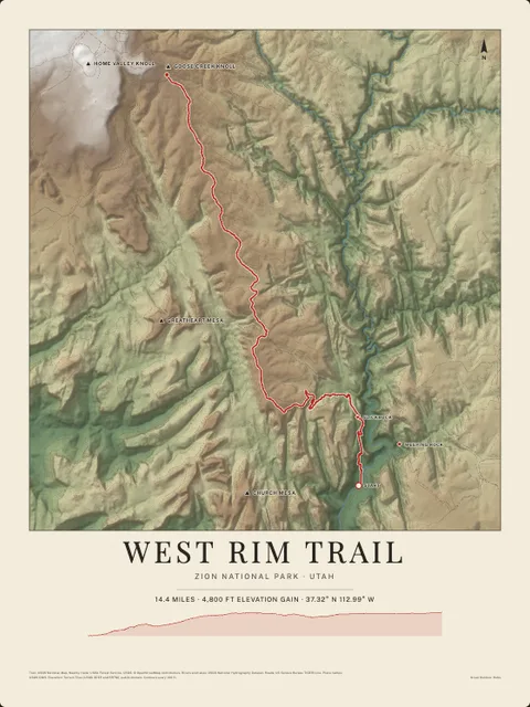
Put Curlew Creek on your wall
This river section as an art print, drawn over the real terrain with its miles, plus the trails, roads and peaks around it. Pick the colors and the size, and see the finished print before you buy. From $39, shipping included.