Around here
Around Lelia Lake Creek
Data Source: Recreation.gov · Source: USGS GNIS · Public land: USGS PAD-US · Forest roads: USDA Forest Service MVUM · BLM routes and areas: Bureau of Land Management (simplified for web display)
About this river
Lelia Lake Creek is an 11.8 mile river. Streamflow is measured at the USGS gauge Lelia Lk Ck bl Bell Ck nr Hedley, TX (site 07299890). The National Hydrography Dataset places it at stream order 5. Reach geometry comes from the USGS National Hydrography Dataset.
Typical flow by month
1997 to 2026
Lelia Lake Creek typically runs highest in April, at a median 1.7 cfs, and lowest in July, at 0.1 cfs. The highest flow on record for any single day is 318 cfs, in 2015.
Show the numbers
| Month | Typical (cfs) | Usual range (cfs) |
|---|---|---|
| January | 1.4 | 0.8 to 2.3 |
| February | 1.6 | 1.0 to 2.4 |
| March | 1.6 | 0.9 to 2.8 |
| April | 1.7 | 0.9 to 3.1 |
| May | 1.3 | 0.6 to 2.5 |
| June | 0.5 | 0.0 to 1.3 |
| July | 0.1 | 0.0 to 0.8 |
| August | 0.1 | 0.0 to 0.7 |
| September | 0.2 | 0.0 to 0.8 |
| October | 0.7 | 0.0 to 1.2 |
| November | 1.2 | 0.2 to 1.7 |
| December | 1.4 | 0.7 to 2.2 |
Typical is the median of each month’s daily median values, and the usual range runs from the median 25th to the median 75th percentile, across about 28 years of record. Statistics published by the US Geological Survey for Lelia Lk Ck bl Bell Ck nr Hedley, TX (site 07299890). Conditions on any given day can fall well outside the usual range. Check the current reading before you go.
Made to print
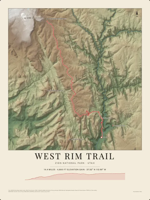
Put Lelia Lake Creek on your wall
This river section as an art print, drawn over the real terrain with its miles, plus the trails, roads and peaks around it. Pick the colors and the size, and see the finished print before you buy. From $39, shipping included.
Embed this gauge on your site
Paste this snippet anywhere, an outfitter page, a club site, a trip report, to show Lelia Lake Creek's live streamflow, water level and 7-day trend. It reads the USGS gauge directly, updates itself, and links back here.
See every free widget you can put on your site, including live conditions and a 7 day forecast.