Around here
Around Goldsborough Creek
- Eastern Neck National Wildlife RefugeRecreation area16.3 mi (opens in a new tab)
- Captain John Smith Chesapeake National Historic TrailRecreation area22.9 mi (opens in a new tab)
- Chesapeake BayRecreation area22.9 mi (opens in a new tab)
- Harriet Tubman Underground Railroad National MonumentRecreation area24 mi (opens in a new tab)
Data Source: Recreation.gov · Source: USGS GNIS · Source: National Park Service. No claim to original U.S. Government works. · Public land: USGS PAD-US · Forest roads: USDA Forest Service MVUM · BLM routes and areas: Bureau of Land Management (simplified for web display)
About this river
Goldsborough Creek is a 2.3 mile stream near Chesapeake Water Tours - Kent Narrows in Maryland. The National Hydrography Dataset places it at stream order 4. Reach geometry comes from the USGS National Hydrography Dataset.
Made to print
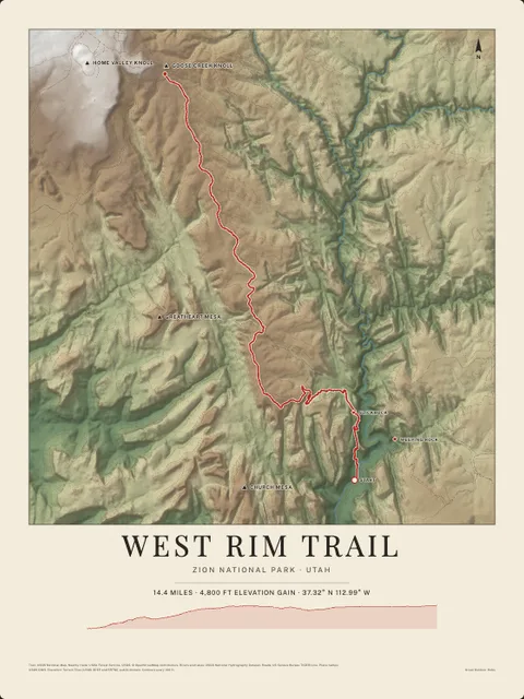
Put Goldsborough Creek on your wall
This river section as an art print, drawn over the real terrain with its miles, plus the trails, roads and peaks around it. Pick the colors and the size, and see the finished print before you buy. From $39, shipping included.