Around here
Around Hilltop Creek
- Chopaka Lake and Chopaka Mountain Wilderness Study AreaRecreation area10.5 mi (opens in a new tab)
- Split Rock Day Use AreaRecreation area12.4 mi (opens in a new tab)
- Spectacle LakeRecreation area14.9 mi (opens in a new tab)
- Conconully Lake/Conconully ReservoirRecreation area19.2 mi (opens in a new tab)
Temperature from a 1980 federal survey. The record says nothing about access, ownership or current conditions.
Data Source: Recreation.gov · Source: Recreation Sites and Trails BC, Open Government Licence (British Columbia) · Source: USGS GNIS · Thermal springs: NOAA NCEI (1980) · Public land: USGS PAD-US · Forest roads: USDA Forest Service MVUM · BLM routes and areas: Bureau of Land Management (simplified for web display)
About this river
Hilltop Creek is a 2.1 mile stream. The National Hydrography Dataset places it at stream order 4. Reach geometry comes from the USGS National Hydrography Dataset.
Made to print
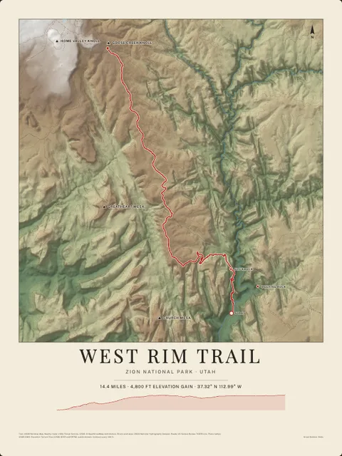
Put Hilltop Creek on your wall
This river section as an art print, drawn over the real terrain with its miles, plus the trails, roads and peaks around it. Pick the colors and the size, and see the finished print before you buy. From $39, shipping included.