Around here
Around Thunder Mountain
Temperature from a 1980 federal survey. The record says nothing about access, ownership or current conditions.
Data Source: Recreation.gov · Source: USDA Forest Service · Source: USGS GNIS · Thermal springs: NOAA NCEI (1980) · Source: National Park Service. No claim to original U.S. Government works. · Public land: USGS PAD-US · Forest roads: USDA Forest Service MVUM · BLM routes and areas: Bureau of Land Management (simplified for web display)
About this trail
Thunder Mountain is a 1.6 mile moderate trail in Arizona. The mapped route runs from 34.8785, -111.7973 to 34.8720, -111.8123. It climbs about 102 ft, topping out at 4,701 ft. Route geometry comes from the US Forest Service Trails dataset.
Real Trail Racing
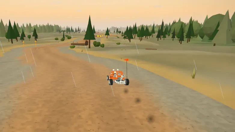
Race Thunder Mountain in 3D
A quick race down the real line of this trail, over the real ground around it, with today's conditions setting the pace. Three rivals, and your best time to beat.
Start a run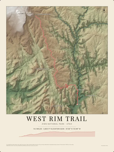
Made to print
Put Thunder Mountain on your wall
This trail as an art print, drawn over the real terrain with its miles and climb, plus the trails, rivers and peaks around it. Pick the colors and the size, and see the finished print before you buy. From $39, shipping included.