Around here
Around Intracoastal Waterway
- French Quarter Visitor CenterVisitor center5.7 mi (opens in a new tab)
- Bayou Sauvage Urban National Wildlife RefugeRecreation area9.2 mi (opens in a new tab)
- Jean Lafitte National Historical Park and PreserveRecreation area15.6 mi (opens in a new tab)
- Big Branch Marsh National Wildlife RefugeRecreation area22.5 mi (opens in a new tab)
- Chalmette National Cemetery Audio TourSelf-Guided Tours - Walking · 30-60 Minutes3.9 mi (opens in a new tab)
- Discover Native Plants in Our CourtyardWildlife Watching5.7 mi (opens in a new tab)
- Explore Natural History at BaratariaSelf-Guided Tours - Walking16.9 mi (opens in a new tab)
- Walk the Trails at the Barataria PreserveHiking17.7 mi (opens in a new tab)
Data Source: Recreation.gov · Source: National Park Service. No claim to original U.S. Government works. · Public land: USGS PAD-US · Forest roads: USDA Forest Service MVUM · BLM routes and areas: Bureau of Land Management (simplified for web display)
About this river
Intracoastal Waterway is a 29.3 mile river near Kokomo Kayak Tours and Adventures in Louisiana. The National Hydrography Dataset places it at stream order 10. Reach geometry comes from the USGS National Hydrography Dataset.
Boat access nearby
8 mapped launches sit in the mapped area of Intracoastal Waterway. Ramp data comes from the USGS national boat-ramp inventory.
- Reggio MarinaReggio CanalRestricted
- Campo's MarinaMississippi River Gulf OutletRestricted
- Fisherman's FriendLake BorneRestricted
- Bayou Bienvenue MarinaLake BorneRestricted
- Eddie Pinto's MarinaLake BorneRestricted
- SeabrookLake PontchartrainPublic
- South Shore MarinaChef Menteur PassRestricted
- Burton RoadChef Menteur PassRestricted
Made to print
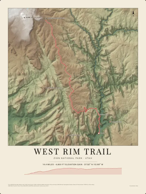
Put Intracoastal Waterway on your wall
This river section as an art print, drawn over the real terrain with its miles, plus the trails, roads and peaks around it. Pick the colors and the size, and see the finished print before you buy. From $39, shipping included.